Wondering if you can really live in the Bronx without a car? In many parts of Bronx County, the answer is yes, but it depends on where you live and how close you are to the right transit and daily errands. If you want a simpler commute, less time dealing with parking, and easier access to shops, parks, and rail service, this guide will help you understand where car-free living is most practical and what to look for as you search. Let’s dive in.
What Car-Free Living Looks Like in Bronx County
Car-free living in Bronx County works best where rail, bus, and walkable retail corridors overlap. That usually means focusing less on the borough as a whole and more on your exact block, your walk to transit, and how easily you can reach groceries, services, and parks on foot.
The Bronx has an uneven but clear transit map. According to the MTA, the central Bronx is served by the 2 and 5 trains, the western Bronx by the 1, 4, B, and D trains, and the eastern Bronx by the 6 train. Metro-North also adds another rail layer through stations on the Hudson, Harlem, and New Haven lines.
Why Transit Access Matters More Than A ZIP Code
If you are trying to live without a car, countywide averages do not tell the full story. What matters most is whether you can walk to a subway station, a Metro-North stop, or a strong bus corridor in just a few minutes.
In the Bronx, transit access often lines up with busier commercial streets and higher-density housing. That can make daily life easier because you are more likely to find stores, services, and apartment buildings near the same corridors that offer better train and bus connections.
Bronx Transit Options To Know
Subway Service Across The Bronx
The subway network gives many Bronx households a strong base for car-free living. The 2 and 5 trains shape much of the central Bronx, the 1, 4, B, and D serve much of the west, and the 6 is especially important in the east.
That does not mean every part of the borough has the same level of convenience. Two homes in the same general area can feel very different if one is a short walk to a station and the other requires a long bus transfer.
Metro-North Adds A Second Rail Layer
Metro-North can make a big difference in the Bronx because it expands your travel options beyond the subway map. Stations in the Bronx include Yankees–E. 153rd St., Morris Heights, University Heights, Riverdale, Melrose, Tremont, Fordham, Botanical Garden, Williams Bridge, Woodlawn, and Wakefield, with Fordham also served by the New Haven Line.
For buyers and renters who want more flexibility, that extra rail access can support a lifestyle centered on walking, transit, and biking instead of car ownership. In practical terms, neighborhoods with both subway or bus access and nearby Metro-North service may give you more ways to get around day to day.
SBS And Busways Fill Important Gaps
The Bronx bus network is a major part of car-free living, especially for east-west travel and trips between rail lines. The Bx12 SBS on Fordham Road and Pelham Parkway is one of the borough’s key mobility corridors, with transfers to the 1, 2, 4, 5, 6, A, B, and D trains as well as Metro-North lines.
The Bx41 SBS on Webster Avenue also plays an important role. NYC DOT describes Webster Avenue as a major residential and commercial corridor, and the Bx41 SBS serves more than 20,000 daily riders.
The Tremont Avenue Busway is another important piece of the network. It was designed to improve bus speed and reliability for more than 39,000 daily Bx36 riders, while also allowing bicycles through the corridor.
Best Corridor Features For Car-Free Living
When you are comparing areas, look for places where transit is paired with everyday destinations. In the Bronx, some corridors stand out because they combine rail or bus access with retail, services, and mixed-use building patterns.
Fordham: Transit And Retail Together
Fordham is one of the clearest examples of a transit-plus-retail hub in the Bronx. Fordham Plaza sits at the crossroads of 12 local and regional bus lines, including the Bx12 and Bx41 SBS routes.
For a car-free household, that kind of connection matters. It can make it easier to handle commuting, shopping, and errands without relying on a car for every trip.
Grand Concourse: Dense Housing And Daily Services
The Grand Concourse is another major spine to watch. City Planning describes the corridor as generally developed with multi-family elevator buildings and ground-floor retail, with service from the B and D trains plus the Bx1, Bx2, and BxM4 buses.
This kind of built environment often supports car-free routines well. When homes, shops, and transit are clustered together, it is easier to keep daily trips short and manageable.
White Plains Road: A Northeast Bronx Shopping Spine
White Plains Road remains a key everyday-services corridor in the Northeast Bronx. Bronx Community Board 12 identifies it as the main shopping district and notes fresh-produce markets, specialty food shops, 2 and 5 train service, and access to Metro-North’s Harlem Line.
That combination can be especially useful if you want practical, routine convenience. A strong shopping corridor near transit can reduce the need for a car for basic weekly errands.
Tremont And Arthur Avenue: Strong Mixed-Use Access
The Tremont and Arthur Avenue area combines retail density with strong transit support. The Tremont Avenue Busway improves access along a street that feeds Arthur Avenue, and the Belmont BID directory lists 415 ground-floor retail businesses across 74 block faces.
That level of retail concentration matters for car-free living because it increases the odds that restaurants, stores, and services are close together. It also supports a more walkable daily pattern for many households.
Webster Avenue: A Reliable Daily Corridor
Webster Avenue fits the car-free pattern too. NYC DOT describes it as a major residential and commercial corridor, and the Bx41 SBS helps connect that corridor with faster bus service.
If your routine depends on frequent bus access and nearby stores, corridors like Webster can be a smart place to start your search. They often offer a practical balance between residential blocks and active commercial streets.
Biking Is Becoming More Useful
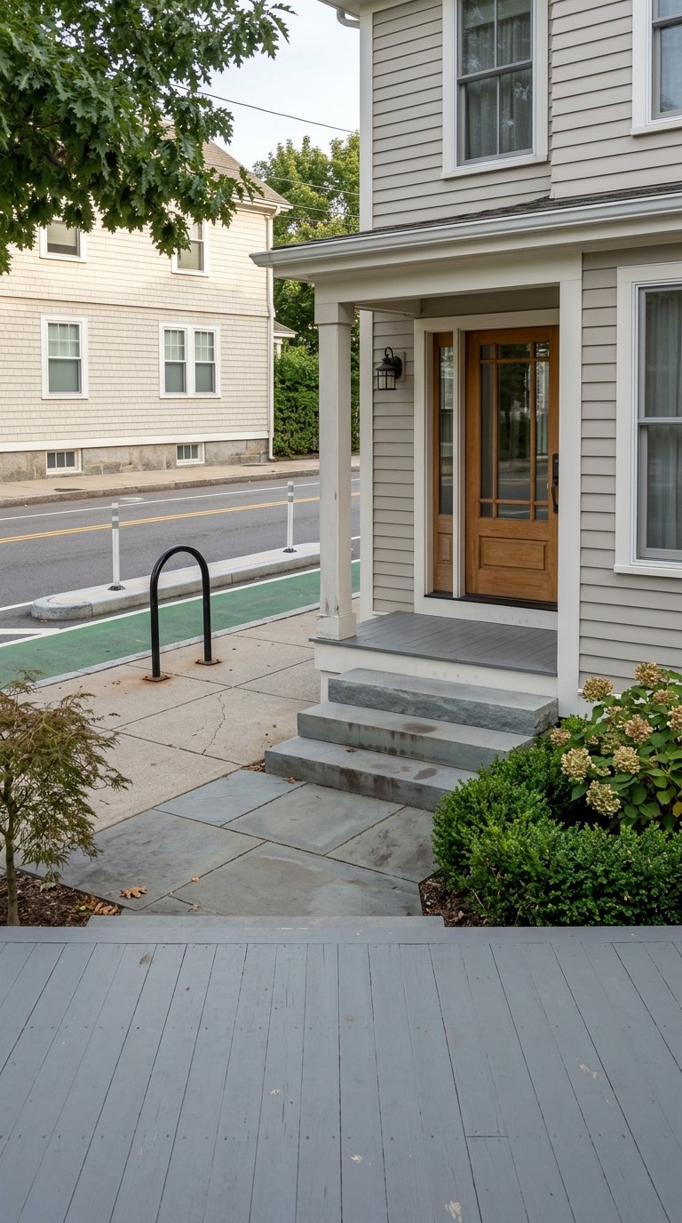
Car-free living is not only about trains and buses. In the Bronx, the bike and greenway network is becoming more useful as a transportation option for short trips, park access, and connections between neighborhoods.
The Bronx River Greenway is a system of parks and trails that provides waterfront access and a linear route for active transportation. NYC Parks and DDC said the 2023 opening of Starlight Park closed the last gap in the Bronx River Greenway.
The Harlem River Greenway is also being built as a seven-mile walking and cycling route between Van Cortlandt Park and Randall’s Island. NYC DOT says it will add more than four lane miles of protected bike lanes in the Bronx as part of the buildout.
For you, that means bike access in the Bronx is increasingly a network feature, not just a weekend amenity. In the right location, you may be able to combine transit with short bike rides to parks, waterfront areas, and commercial corridors.
What Home Shoppers Should Look For
If you want to prioritize car-free living, it helps to use a simple search framework. The research suggests starting with the walk to transit, then looking at retail depth, and then considering building type.
A practical checklist includes:
- Walk time to the subway, Metro-North, or SBS service
- Access to groceries, pharmacies, and other daily errands
- Nearby commercial corridors with regular foot traffic
- Bike or greenway access for short trips and recreation
- Building type that fits your lifestyle, whether apartment, mixed-use, or lower-rise housing
This approach can help you compare homes more realistically. A property may look appealing online, but your day-to-day experience will depend heavily on how easy it is to get around without a car.
How Building Patterns Affect Car-Free Living
In the Bronx, building form often follows corridor strength. Near the Grand Concourse, City Planning describes a landscape of mid-rise multifamily housing with retail at street level, including zoning that supports 8- to 10-story residential buildings.
Around Jerome Avenue, the building stock is predominantly apartment buildings, with some one- and two-family homes as well. That is a useful reminder that a transit-rich corridor can sit right next to lower-density residential streets.
In the Tremont and Belmont area, planning documents describe a predominantly residential neighborhood with five- to nine-story apartment buildings, along with other multi-family buildings and one- and two-story commercial structures. In parts of the north Bronx, lower-rise detached housing is more common, as noted in Van Cortlandt Village rezoning materials.
For home shoppers, the takeaway is simple. If you want the easiest car-free setup, apartment-heavy and mixed-use areas near strong corridors may offer the most convenience, while lower-density areas may require more planning for daily trips.
Is Car-Free Living Right For You?
Car-free living in Bronx County can be a strong fit if you value transit access, walkable errands, and flexibility over parking and car storage. It tends to work best in places where subway or Metro-North access is paired with strong bus service and nearby retail corridors.
Your ideal area depends on your routine. If you commute often, rail access may matter most. If you work locally or want easy errands, the mix of shops, buses, and street-level services may be just as important.
If you are buying, renting, or planning a move within the Bronx, it helps to look beyond the listing itself and think about how your block functions every day. For local guidance on neighborhoods, transit-friendly home searches, or your next move, connect with Rahhim Shillingford.
FAQs
What makes car-free living practical in Bronx County?
- Car-free living in Bronx County is most practical where subway access, Metro-North service, strong bus corridors, and nearby retail or daily services overlap.
Which Bronx transit lines matter most for car-free living?
- Key lines include the 2 and 5 in the central Bronx, the 1, 4, B, and D in the western Bronx, the 6 in the eastern Bronx, plus Metro-North service on the Hudson, Harlem, and New Haven lines.
Why is Fordham important for car-free living in the Bronx?
- Fordham stands out because Fordham Plaza connects 12 local and regional bus lines, including the Bx12 and Bx41 SBS, creating a strong transit-and-retail hub.
How does Metro-North help Bronx households live without a car?
- Metro-North gives some Bronx neighborhoods a second rail option, which can expand commuting and travel flexibility beyond the subway network.
Are bikes useful for car-free transportation in Bronx County?
- Yes. The Bronx River Greenway and the developing Harlem River Greenway make it easier to combine biking with transit and reach parks, waterfronts, and some neighborhood destinations.
What should homebuyers look for in a car-free Bronx location?
- Focus on walk time to transit, access to grocery and service corridors, nearby bus or rail connections, and building patterns that support a more walkable daily routine.